Saturday, June 29, 2019

6/29/2019 Oregon Beach

We are camped midway between Cannon Beach and Seaside Beach which are both along the Oregon Coast.  

Cannon Beach is named after an old Cannon that rolled up on the beach.  It is a somewhat quiet, more reserved town. 

Seaside on the other hand is a livelier beach with a boardwalk and a Main Street containing an  old carousel, candy taffy, ice cream, cotton candy, T-shirt stores,  game rooms, and plenty of places to eat.  Seaside Beach is also the western terminus of the Lewis and Clark Trail.  It is also the 1st Beach Town in Oregon where Oregon people would vacation.

The sand in both places is long to the water, soft, white, easy to walk on, & there is plenty of it.  Along the cliffs are homes built a number of years ago.  

Also both are located in a Tsunami Zone.  Apparently if an earthquake happens in Japan or somewhere under the sea between Japan and Oregon, the Oregon coast gets hit with a Tsunami.  Being the skeptic that I am I googled it and sure enough in 2011 a Tsunami hit Cannon Beach and washed sand along the beach up onto the Homes built high upon the cliffs.  All initiated from an earthquake in Japan.


Sunday, June 23, 2019

6/23/2019. Multnomah Falls Portland Oregon


One of my favorite hikes is up to the top of Multnomah Falls overlooking the Columbia River Gorge.  It is the tallest falls in Oregon.   The hike is 1 1/2 miles up.  It is full of scenery.  At the bottom of the falls is a restaurant that is worth checking out.  

Sandy and I did this same hike a couple of years ago when we were visiting our daughter and son-in-law in Portland.

Unfortunately in 2017 a teenager playing with fireworks set the forest on fire so you will see some burnt trees in my pictures.  It was a strange fire in that it jumped from tree to tree in some cases only scorching the bark, in other cases fully engulfing the tree.   Fortunately Firefighters were able to save a lot of the area around the falls.  

If you make it to Portland set aside a couple hours to do this hike.


Thursday, June 20, 2019

6/20/19. Damn BIRDs in NE Oregon. The Chipmunks may be innocent

If you have followed the blog you know that I had a run in with a curious Chipmunk that was trying to get into the COW.  Well at least I thought it was a Chipmunk. 

We moved campgrounds and you guessed it, the problem came with us.

I met our new neighbor at the new campground and I asked her if she has had problems with chipmunks or squirrels running across the roof of her RV at 5:30 AM.  She said that she has heard them, but she thought it was BIRDs.  

REALLY!!  BIRDs.

Sure enough the BIRDs get up at sunrise.  They fly onto our roof, then proceed to hop and run back and forth from the front to the back of the COW.  The COWs roof is fiberglass so it sounds like they are running down the center of our tile floors inside the cow.

Of course Sandy sleeps through it, but I am wide awake.  

Well, on the positive side I won’t have to use the rat and mouse traps I purchased.

Update:  We have again moved.  Currently we are in Portland, Oregon.  

So far we have not been bothered by the pesky birds as the seem to have stayed on the other side of the state.  

Hooray!!!

6/20/2019. Flower Pot Saga Continues

6/20/2019. Flower Pot Saga Continues

I thought we had the Flower Pot (rear toilet) of the COW fixed.  Not the case.  It now programs properly, fills with water when requested, but the water completely drains out of the bowl in 10 minutes.

As you have read in the past this toilet is programmable.  I expect it to solute me when I approach the throne.  It is sophisticated.  Therefore it has many possible things that can go wrong.  What I have learned to date is that there are three major components.  They are:

  • Porcelain Toilet
  • Programmable buttons
  • Controller

To date we have replaced both the Porcelain Toilet and Programmable Buttons.

After contacting the customer service team, the “Controller” is now suspect.  The manufacture is sending me troubleshooting instructions.

Yet again, I am in the troubleshooting mode.

I am beginning to think planting a flower into this pot (toilet) may still be the easiest way out.

6/20/19. Eastern Oregon- Baker City by Sandy

We spent 10 days in the Baker City area at 2 different campgrounds. One in a pine forest and one just off the highway with breezes that smelled like honeysuckle. Loved the fragrant sites. 

We did a lot of exploring of the many small towns nearby and 2 different scenic byways. Here are my recommendations

  1. The Blue Mountains which encompasses this area is all beautiful. The Hells Canyon Scenic Byway is worth doing a second time. We first took the southern winding route to see the Oxbow and Hells Canyon dams along the Snake River and into Idaho. Then another day we took the northern route on the Byway via La Grande from I-84 into Enterprise and the town of Joseph. La Grande is the town for Eastern Oregon University so bigger than Baker City. Several tiny towns later, Enterprise has a hospital and county type services and a chain grocery store. Joseph, with Wallowa Lake at the foot of the mountains, is the touristy town with a quaint Main Street filled with unique gift and speciality stores, including bronze sculptures on every street corner through town. Tons of cabins are nearby along with a tram that leads to a mountaintop we did not take the time to do. But beware, barrels of agent orange were found at the bottom of the crystal clear lake in town (which is their drinking water source) last year so watch your water usage while there.  We spotted the environmental team’s trucks in the state park’s parking lot still working on the problem. Also, if you visit, start working on pronunciation of this lake and the surrounding Wallowa Mountains. (It’s wa-la-wah)

  1. The Elkhorn Scenic Byway, named for the Elkhorn Mountains, has a ski resort recreation area with hiking trails. By going the southern route from Baker City you’ll pass the Gold Dredge, but then it’s all pine forest. We gave up on this destination, but approaching the route counterclockwise from Haines, which is north of Baker City, should get you to Anthony Lakes faster and we heard is more scenic.

  1. The Oregon Trail interpretative Center is a great place to explore. Their displays were very well done. Learned more than any history class ever taught me. And they have 4 miles of trails nearby to hike.

  1. This area has lots of off road vehicle routes, so bring one if you have one. We did not see any place to rent them. Kayak and canoe rentals would be a wide open business to start in the area.  White water rafting or jet boat yours can be done on the Snake River in Idaho if the water is warm enough.

  1. Next time, I’d stay in the La Grande area or Haines rather than Baker City, to be closer to more hiking options. Baker City, Haines, and La Grande are all in the valley between the Elkhorn and Wallowa mountains, so any town is very scenic. 

6/20/19 Holding on to a flying COW

A couple days ago we drove from Baker City, Oregon  to Portland, Oregon along Rt 84.    In turns out Rt 84 parallels the Columbia River which cut  a deep canyon through the Cascade Mountains.

As we entered the Dalles (which is part of the Cascade Mountains), the canyon along the river narrowed and the winds increased immensely.  The COW bucked and twisted. I had a death grip on the steering wheel as we were being blown back and forth in our lane.  Sandy grabbed the support bar along side of her chair which left finger print impressions imbedded into the bar.  The wind blew so hard that dirt came into the COW from the outside. The newly installed drivers side window creaked and groaned each time an gust of wind would hit us from the side.

I slowed down the COW to 55 MPH in the 65 MPH zone to get it under control.  For the most part the semi drivers did the same.

When we stopped for Diesel fuel at a Flying J truck stop just off the highway.  I opened the door to go to the pumps and the wind almost launched me out of the COW.  As I pumped fuel I realized a little to late that if the pump did not trip off in time the diesel fuel would go airborne.  I did a quick dodge, but still was the lucky backdrop for some of the overspray.  The wind had launched the overspray 5’ beyond the front of the COW.

As the canyon opened the wind subsided and we were able to make it to our next destination.

Sunday, June 16, 2019

6/16/2019. Oregon Trail and Wild Mustangs.

Yesterday we traveled to the National Historic Oregon Trail Interpretive Center.  While there:

  • We watched a horse trainer work with two captured wild Mustangs.  These mustangs were captured about a year ago and are up for adoption for $125 ea.  At this point they are used to:
      • Being fed
      • People and dogs
      • Corral
      • Riding in a horse trailer
    • They are not used to:
      • Being ridden
      • Being around children
    • To get to this next level they require more training with a Horse Trainer and then they can be adopted for approximately $900.  They are typically a couple years old when they are adopted.
  • Hiked 3 miles down to the actual Oregon Trail to see the ruts that the wagons left years ago in the prairie.
  • Toured the museum which took longer than we thought (2 to 3 hours).  Very informative.

The positive thing is that Sandy and I seem to be getting used to hiking in 4000’ elevation.

Picture attached.


Wednesday, June 12, 2019

Hiking in Easter Oregon Wilderness Requires Some Finesse — June 10 (by Sandy)

Our second full day in Eastern Oregon has us going on a hike in the Elkhorn Mountains, along the Elkhorn Scenic Byway just outside of Baker City. We thought we did a reasonable amount of research to be prepared. We read guidebooks describing the hike, finding the trail distance acceptable, the drive time acceptable, and the possible lake/mountain views exciting. We got advice from an Oregonian hiker (our daughter Stacey), including details from her book of 100 best hikes. Ok, let’s go. 

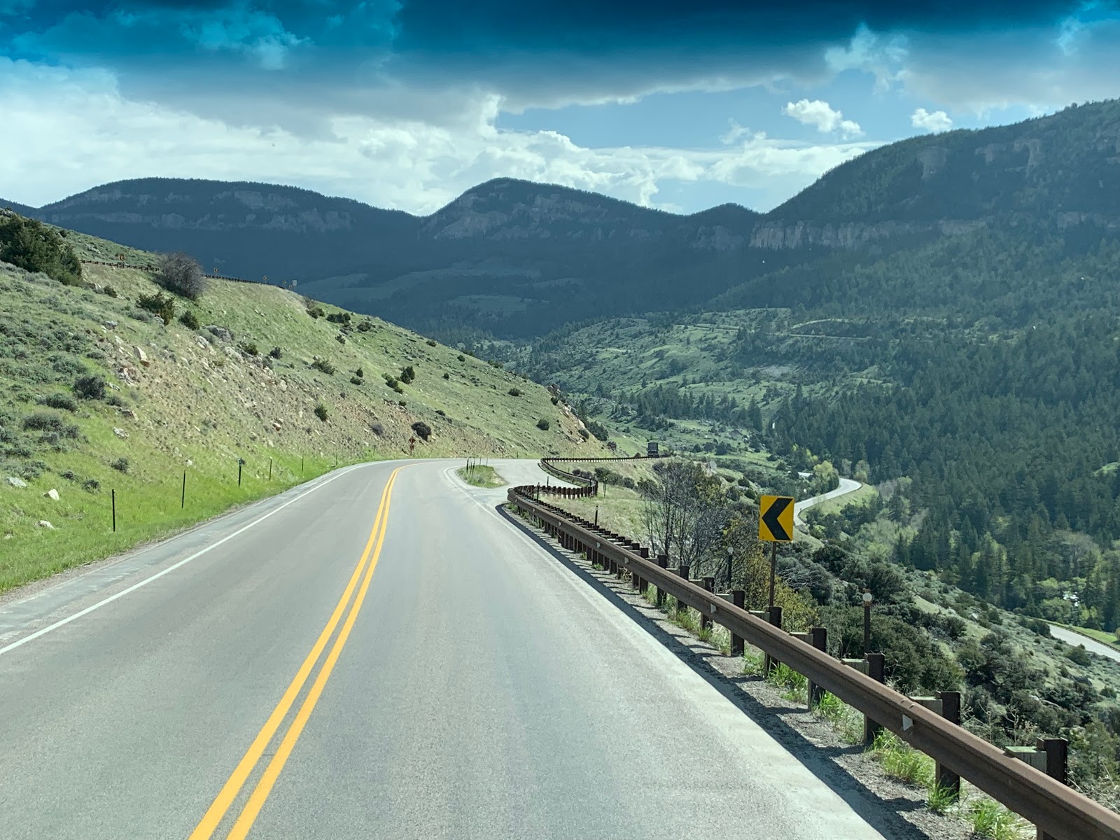
Things were going well. We ran into no other cars on the drive, perfect!  We had the windows down enjoying the pine scent from the trees in this forest. About an hour into the drive of winding forest roads around the mountains, sometimes taking us down to 20mph on the curves, we start to encounter fallen rocks and tree debris in the road. No problem, easy to get around. It was a tough winter. Then at the higher elevation, some snow on the road. No problem, one lane is still free of snow. Then, more snow and more until the entire road has several inches of snow on it. Sandy driving, Bill says we better turn around. Sandy is thinking I’m from Ohio, a little mountain snow is fine, but then realizes we are out of cell phone range, no one will know where we are and that if we get stuck or slide off the side of the mountain, it would take forever to get a tow truck up here if we were ever found. 

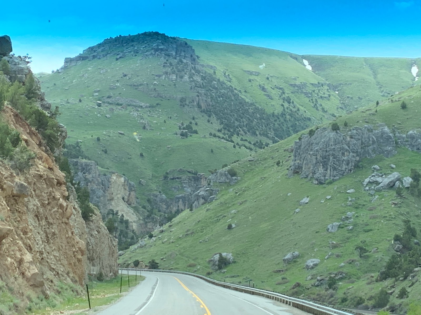
So, back down the mountain we go. We had passed some trails en route, let’s stop at one. The first trailhead we found was a short one mile along a fast stream, full of snow melt and looked decent. We got 2/3 in and turned around, after a few too many trees across the trail to scramble over and what looked like more snow ahead. Then we tried a trail for offroad vehicles near the mountain base and were more successful on hiking but we had no idea of trail distance or route, just hoping we don’t get lost in the woods. 

Here is the wisdom we gained and the finesse we didn’t quite have at the outset:

1.  Know where you are going. Have pdf or hard copies of EVERY trail in the area in case plans change if you’re not in cell range. 

2.  Read EVERYTHING on the maps you’re looking at. Once we turned around, Sandy looked at the map for more trails to salvage the day and only then saw the little note in the corner that said to ‘call the forest service for road conditions to Anthony Lake (our original destination) through June as the road is not maintained in the winter’.  Then, follow the advice and make the call. 

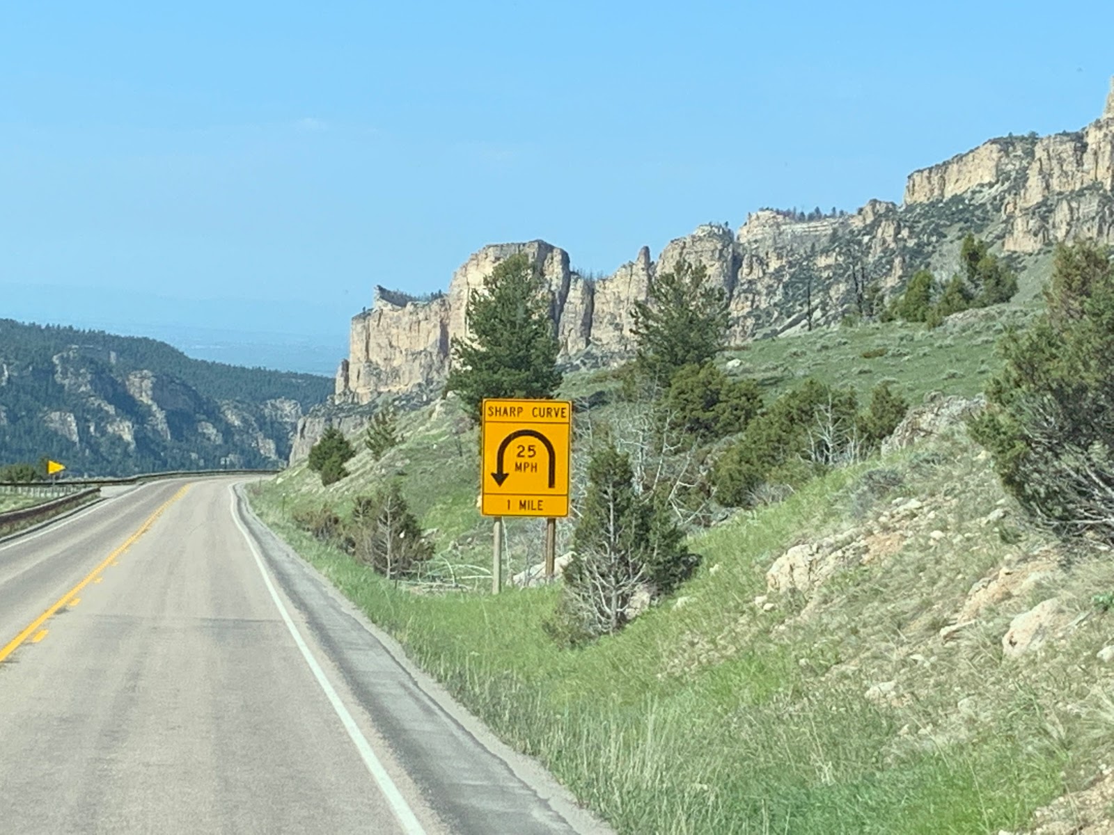
3.  Read, REALLY READ the road signs. Here is one we saw on the way out that we did see on the way in but not being a local, and being from Ohio, did not realize the importance. Apparently the winter season lasts through June in Eastern Oregon. Maybe this is why we didn’t see other cars on our drive in. Everyone else knew the road wouldn’t go through. 

Up until now in our travels, we have been in flatlands or hiked mainly in national parks, where trails have been pristine, or non-wilderness areas. We’re learning to respect the mountains and the wilderness. And do more planning!

6/11/2019 The OH to friendly Chipmunk

Two days ago when we pulled into a beautiful wooded campsite just outside of Baker City Oregon I was greeted by an overly enthusiastic chipmunk while I was connecting up my electric cord.  It looked at me, smiled and then leaped up on top on the COWs 22” tires with one bound.  I thought, “That’s not good”.  I chased it down and it immediately ran over to the toad and up into the engine compartment.  I opened up the hood and chased it away.

The next day Sandy and I decided to cook some chicken fajita’s on the electric stove on a picnic table setup on our site.  Who showed up?  You got it.  The overly friendly chipmunk.  It ran right up to Sandy’s chair, 6” from her shoes, sat up on its hind paws and begged.  Sandy proceeded to say how cute he was and that he must be a baby because he is so small.

Now I am not totally sure whether he is a chipmunk or some type of Oregon Squirrel.  He has a squirrel type tail, but chipmunk type stripes on his body.

Well within seconds of getting accolades from Sandy he was up on the seat of the picnic table, and in a flash up on top of the table almost enjoying our chicken fajitas.  I clapped my hands and away he went.

Well this morning at 5:45 AM I woke up from a dead sleep to a scratching on what I thought was the inside wall of the COW.  As I tried to adjust to what I was hearing, it sounded liked it moved to running around our bed.  I thought “Holy Smokes it got inside”!   If Sandy wakes up to this thing running across her face the whole park will be awake.  I hit the panic button which is directly above where I sleep in the bed.  The COW lit up like a Las Vegas Casino.  Every light I think inside and outside went FULL ON.  I jumped out of bed and of course saw nothing.  Sandy woke up and said “WHAT ARE YOU DOING” with a puzzled upset face?  

After a while, I decided to go back to bed.  This time armed with one of my 540 Lumen LED military attack flashlights which includes sharpened glass break edges and zoom capability which we bought from Harbor Freight.  I laid in bed for 20 minutes and heard the scratching again.  Out of the bed I hopped with my flashlight and zeroed in on the wall I thought the scratching was coming from.  I pounded on the wall hoping to scare the critter back out the same hole it came in (which apparently worked, at least I hope :-)).  Again Sandy awoke.  The scratching silenced.  

The neighbor campers had to think I was nuts.  Back to bed again.

Again 20 minutes later it started again.  This time I laid awake trying to figure out just where the noise was coming from before reacting.

This time I realized that it was Sandy rubbing her fingers along the sheets and snapping her fingers???  Must have been dreaming.

PS. After fully waking up,getting dressed, and exploring the underneath of the COW.  I realized that a piece of Steel Wool I had pushed into the opening where my power cord exits the COW had been moved.  Further investigation led me to a 3” knockout where wires enter the coach from the rear engine compartment.  This knockout enters directly into the basement storage where the critter (if it exists at all) may have been.  Apparently Winnebago overlooked inserting a large grommet to plug this opening.  I wrapped all the wires in Duct Tape so that they don’t get cut by the rough opening, then stuffed the 3” opening with steel wool and taped it in place with duct tape.  


The next night was quiet.  Thank Goodness.

The culprit Mugshot

6/10/2019. Gold Dredge and Snow in Oregon

First.  Are you kidding me it is June 10th and we ran into snow.  Sandy and I took what we thought was going to be a circle tour on Rt 73 out of Baker City Oregon.  It turns out Rt73 is a National Forest Service Road and as the sign says below (see Picture) they do not maintain this road for Winter Travel.  Come on, it is June 10th.  Needless to see we drove to 7600’ and there was to much snow on the road for our Equinox to travel.  We had to turn around.  Honestly even if I had a 4WD truck I wouldn’t have attempted pushing through.  Absolutely “0” cell service almost the entire 2 hour drive.

We did come across an old gold mining ghost town called Granite and a gold digging dredge that operated until the 1950’s.  It is said that the dredge produced $450M in gold.  Interesting thing is that it floated in 12’ of water and can dredge up to 15’ deep.  The water that surrounded it was actually a small pond that moved along with the dredge as it moved along the countryside.  The front of the dredge contains the boom with the dredge buckets.  The buckets would pick up the dirt and rock.  Pull it inside where it was processed with water, spinning drums with small holes, and sleuths containing paddles of mercury.  The gold would stick to the mercury.  The discard was then dumped onto a conveyor belt which extended out the back and would dump it behind the dredge.  This was a pretty impressive machine with electric motors, steam engine to generate heat in the winter to keep the water from freezing, pulleys, cables, etc....  To me it looked like a floating OSHA nightmare.  I did ask how many men died on it.  Supposed only one at age 37 from a Heart Attack.


On the Road in Wyoming - May 31, 2019 By Sandy


Today was a 7 hour road trip across Wyoming from Buffalo to Grand Teton National Park. Bill did all the driving today as mountains were involved, along with lots of downshifting and curvy roads, Bill’s speciality. So I got to enjoy the gorgeous views on this beautiful sunny day. Our route took us through some jaw dropping scenery, so I’m detailing our route here and including a few photos that don’t come close to doing the views justice. 

Before selecting this route we talked to several locals, the information desk and other big rig drivers, as this was our first adventure into the high altitudes with this rig and there is no room for mistakes. Maximum 7% grade along the route we decided was very doable. 

Heading out of Buffalo, we immediately crossed through the Bighorn National Forest mountains. Route 16 was called Cloud Peak Skyway Scenic Byway. We passed snow along the road but on the southern part of the forest we were at a lower altitude but had a great view of the 13,000+ snow covered mountain tops just to the north. 


Still on Route 26, we headed into Ten Sleep Canyon.  Wow pretty much sums it up. 


  • The town of Ten Sleep has a population of 260.  Wyoming is the least populated state in the US with about half a million people in the entire state. A plus besides the scenery is no state income tax, sales tax at 6% and real estate taxes are low also. (I’m ready to move based on this but Bill’s not quite convinced.). One more thing to note along this route, don’t expect to have much cell coverage. This is wilderness. 

At Worland, we headed south on Route 20, following the river through Wind River Canyon between Thermopolis (which has hot springs we didn’t stop for) and Shoshone. This area is called Wyoming Scenic Byway. At Shoshone we picked up Rt 26 into Riverton the headed north toward Moran Junction in the Tetons. This is my preferred way to enter the Grand Teton National Park, as the views of the Tetons entering the east entrance to the park is spectacular. I couldn’t stop taking photos. 


And below are the Tetons that we saw for miles and miles as they got closer. 
Image.jpeg


Mountains, foothills, canyons, prairies, snow, rivers and lakes made this journey go fast.... at least from the navigator seat.