The Cabot Trail in Cape Breton, Nova Scotia is similar to (in my opinion)a combination of the sites I have seen in Alaska and upper Michigan with the exception that it is along the Gulf of St Lawrence.
Many of the overlooks are breath-taking especially if you go the extra mile and hike to them.
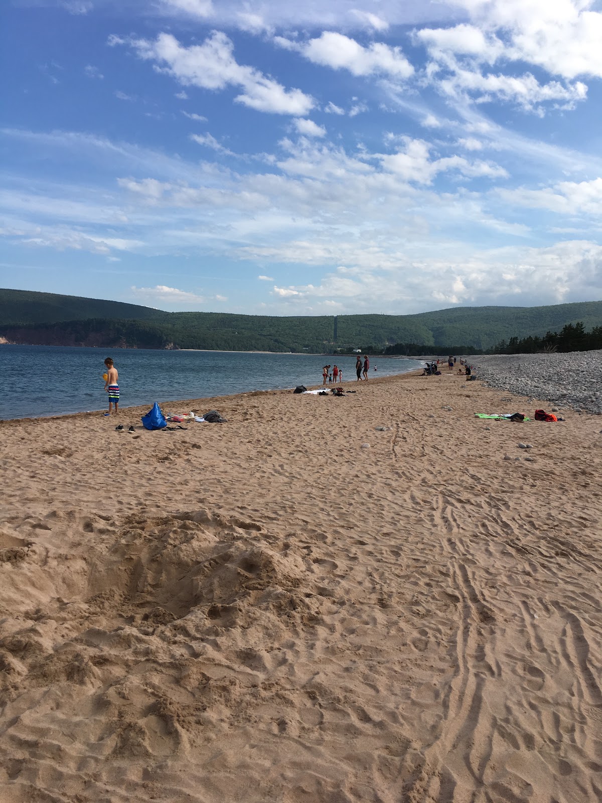
Early on we decided to hike the Skyline trail along the French Mountain. The hike leads to Look-offs (must be Nova Scotian for look-outs) overlooking the Gulf of St Lawrence, with the final Look-off viewings the rugged mountain edges along the water. Also at this final look-off we observed many whales surfacing not to far off of shore.
Unfortunately, you will not be able to see the whales from our pictures as the camera could not capture them.
If you have kept up with our blog, you will possibly remember that Sandy and I (mostly me) have a bad habit of assuming we know what we are doing when it comes to hiking.
Reference the quick before breakfast hike we took in Schoodic Woods, Maine where we got into more than we expected (didn’t finish until after lunch time).
Well I guess we didn’t learn the first time.
I assumed (expected) this would be a simple hike so when we jumped out of the car I be-booped to the trailhead in tennis shoes, shorts, and no backpack. At the trail-head, Sandy informed me that it was a 2 hour hike. OH, back to the car, grabbed the backpack, water, food, sunscreen, hat, and bug spray. Off we went, but before we started down the trail, I did take a snapshot with my phone of the trail-map. I knew that at the “Y” in the trail we were suppose to go right as Sandy told me (which she was told by the visitor center). So since I was in the lead, I turned right at the “Y”. About an hour into the hike we ran across another couple coming from the other direction on the trail, and I asked how much longer to the lookoff. The gentleman explained that it was another 2 KM. I thanked him and continued to walk when it sunk in “another 2 KM. Hmmm?? I pulled out my phone, blew up the picture of the map, and realized we should have taken a left at the ‘“Y”. To late to turn-around. In the end we walked the 9.2 KM (5.7 miles) instead of the 2 hour hike we expected.
Maybe, just maybe, the next time (3rd time) will be a charm and we will have our act together. We will actually do the hike that we (I) expected.
In the meantime I am going to pack twice the amount of food and water in my backpack just in case :-)
Pictures attached:


Enjoy keeping up with your travels! Beautiful pics!
ReplyDelete